Ask three people how big the GTA VI map is and you will get three different answers — and all three can be right. Rockstar answers in comparisons, the fans answer in kilometres, and since launch day there is a third answer: Rockstar’s own map of Leonida, printed and free. This article sorts out all three: the six regions, every size figure next to its source, the story of the fan mapping project, and how to read the official map. It is for players who want to know where the game takes place, how big it is, and which numbers to trust. It does not cover the story, the characters, or the missions — those have their own articles.
Where Is GTA VI Set?
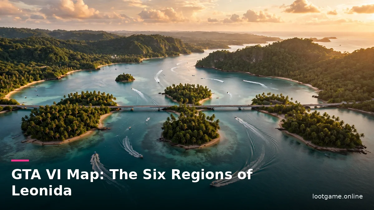
Leonida is Rockstar’s fictional Florida, and the game calls it “The Goodtime State”. That one line tells you more than it seems to: this is not a game set in a city with countryside attached. It is a game set in a whole state, and the city is only one part of it. Vice City sits on the south-east coast, where Miami sits in real Florida, and the other five regions spread out from there — islands to the south, swamps to the south-west, farmland in the middle, a faded port town on the west coast, and wild forest in the north.
Rockstar did not copy Florida at full size. Rob Nelson, Rockstar’s head of development, told the French magazine Trois Couleurs that the team first fixed the places Leonida had to contain — the Everglades, the towns around Miami, Miami itself — put them roughly where they sit in real Florida, and then compressed the distances between them. He called the result “a warped sort of version of reality”, “not one-to-one life-size”. The numbers back him up: the whole state spans about 21 by 20 kilometres on the fan map’s sheet, most of it water. In real Florida, Panama City Beach sits about 721 kilometres from Miami; in Leonida, Port Gellhorn sits about three and a half city-widths from Vice City — the same distance as the Leonida Keys.
That squeeze shapes how the game opens. The first part is spent at the very bottom of the map, in the Leonida Keys, at Jason’s little house — “and then the game just opens and you can go anywhere, anytime”, as Nelson put it. A journalist who played it drove from downtown Vice City into the suburbs and then into countryside without a loading screen. The map is one continuous place, and the story starts at its far edge on purpose.
The Six Regions of Leonida
Rockstar names six Leonida regions on its official page, and each one has its own slogan, landscape, and reason to visit. Only one of them is a full city. Port Gellhorn is a town. The rest are regions in their own right — and the game treats them that way, with their own weather, wildlife, and economies.
| Region | Rockstar’s slogan | What it is | Real-world parallel |
|---|---|---|---|
| Vice City | “Everything in Excess” | The big city: Downtown, Ocean Beach, Little Cuba, Vice Beach, VCIA airport | Miami |
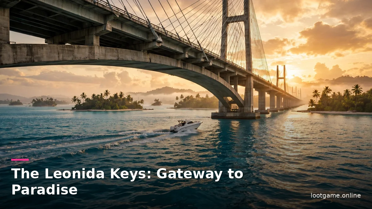
| Leonida Keys | “Gateway to Paradise” | Island chain in the south; boats and small planes beat cars; Jason’s home | Florida Keys |
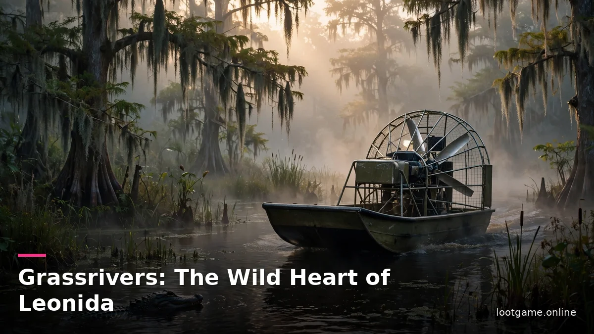
| Grassrivers | “Welcome to the Wetlands” | Swamps south-west of Vice City; alligators, mangroves, airboats | The Everglades |
| Port Gellhorn | “Live Hard” | Rundown town on the west coast; raceway, off-road trails | Panama City / Florida Panhandle |
| Ambrosia | “Keeping Leonida Sweet” | Sugar town in the centre; refinery, smokestacks, biker gang | Clewiston / Lake Okeechobee |
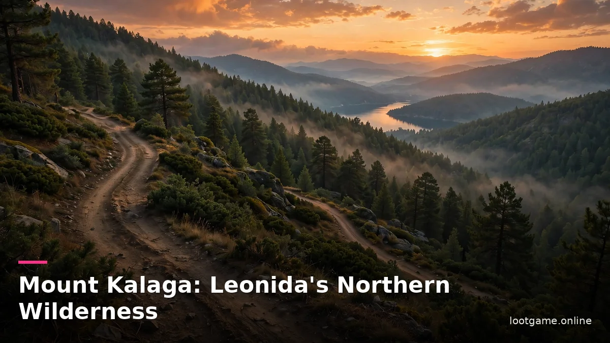
| Mount Kalaga National Park | “Wild, Wild Country” | Northern wilderness; hills, rivers, backwoods, deer and panthers | North Florida |
The real-world parallels in the table are comparisons made by outlets and fans, not statements by Rockstar. Rockstar describes the regions in its own words; the Florida matches are how guides explain them.
Vice City is where the money and the crowds are: the most populated and wealthy region, from Ocean Beach to Little Cuba. The Keys are the opposite mood — small islands where fishing and hunting matter and a car is the wrong tool. Grassrivers is the dangerous middle ground, alligators and mangroves where an airboat is likely the only way around. Port Gellhorn is the faded side, a town whose glory days are behind it. Ambrosia is the working heart, a sugar town where a biker gang holds influence. Mount Kalaga is the edge of civilisation, where Rockstar says “hillbilly mystics and paranoid radicals live far from the prying eyes of the government”.
No two regions ask the same thing of you. A player who only stays in Vice City sees the biggest city Rockstar has built — but only one sixth of the map. The Keys reward boats and patience, Grassrivers rewards caution, the north rewards anyone willing to leave the roads.
The Size of the GTA VI Map
Rockstar has never given the map’s size in square kilometres. Every GTA VI map size figure you have seen comes from someone else doing arithmetic on Rockstar’s words — and Rockstar’s words are comparisons, not measurements. Once you see that, the conflicting figures stop looking like arguments and start looking like what they are: different ways of counting the same place.
The comparisons come from one person. Rob Nelson gave them to the YouTuber TGG on 27 August 2026, after showing three hours of the game, and the same figures were relayed the same day by Kotaku, VGC and PlayStation Universe. Aaron Garbut, Rockstar’s head of development and co-studio head, gave the same ratio again to Game Informer on 29 September 2026.
| Comparison | Ratio | Said by | When |
|---|---|---|---|
| Leonida vs GTA V | Twice the size | Rob Nelson (TGG) | 27 Aug 2026 |
| Leonida vs Red Dead Redemption 2 | Three times the size | Rob Nelson (TGG) | 27 Aug 2026 |
| Vice City vs Los Santos | Twice the size | Rob Nelson (TGG) | 27 Aug 2026 |
| Vice City + suburbs vs Los Santos + surroundings | 11 times | Rob Nelson (TGG) | 27 Aug 2026 |
| Leonida vs GTA V | About twice | Aaron Garbut (Game Informer) | 29 Sep 2026 |
| Leonida landmass vs GTA IV + GTA V + RDR2 combined | Roughly equal | Rockstar (Edge magazine) | 29 Oct 2026 |
Fan measurements put GTA V at 75.84 square kilometres and Red Dead Redemption 2 at about 75 — so “twice GTA V” gives about 152, and “three times Red Dead Redemption 2” gives about 225. The same map cannot be both, which tells you Nelson was not measuring the same thing twice. The likeliest answer is land: fan measurements put GTA V’s land at just under 50 square kilometres, and twice that is about 100 — close to what the community map measured. Edge’s comparison points the same way: adding the fan figures for the three older maps gives roughly 167, nearly double the community map’s 85.6 of land. The gap is unexplained, because Rockstar has never said what exactly it is doubling: land, the whole sheet, or the playable zone.
| Estimate | Land (km²) | When | Basis |
|---|---|---|---|
| Community map, first count | 125 | April 2024 | RAGE engine units + first trailer |
| Community map v15 | About 110 | 2025–2026 | Trailers + screenshots |
| Community map v16 (latest) | 85.6 | September 2026 | Trailers + screenshots + Aug 2026 leaked map image (unverified) |
| GTA V land, for comparison | Just under 50 | Fan measurement | In-game atlas |
So what is the honest answer? A range, not a number. Including water, the map is roughly 150 to 160 square kilometres — twice the fan figure for GTA V. Counting land only, it is about 100 square kilometres, or 85.6 on the community map’s latest count, which makes Leonida about 1.7 times GTA V’s land. None of these is official. The only official statement is the ratios, and the ratios do not come with a unit.
The GTA VI Mapping Project: How Fans Drew Leonida
For four years, the best map of Leonida was one Rockstar never made. The GTA VI mapping project began days after the September 2022 leak, when much of the leaked footage showed in-game coordinates. A community on GTAForums, organised under the handle Yanis, set out to rebuild the state from those coordinates, from every trailer and screenshot Rockstar released, and from Florida’s geography. They marked what they were sure of and what was guesswork, and they kept redrawing as each new frame arrived.
The project’s numbers tell the story. The first serious count, in April 2024, put Leonida’s land at 125 square kilometres — a figure aggregators then repeated for two years as if it were measured fact. By version 15 the figure had fallen to nearly 110. Version 16, published in September 2026, puts the land at 85.6 square kilometres, on a sheet 21 by 20 kilometres with a one-kilometre grid, most of it water. The estimate fell by a third in two years, and that is not a failure on the mappers’ part: every new frame tightens the scale, and first guesses rarely survive the test.
Version 16 carries one caveat. The team checked its shape and scale against the map image from the August 2026 leak, not only against Rockstar’s footage — and whether that leaked image is genuine GTA VI material is itself unverified. So 85.6 rests partly on leaked material, and it deserves to be read as a well-founded estimate rather than a measurement from official footage. The coastline and big landmarks are anchored to Rockstar’s footage, so the outline is probably right; the road layouts between them are inferred, and the scale of some places — the airport, which one early reader called nearly half the size of the city — may be a fault of the reconstruction. What the project got right is the shape: six regions, the Keys on a single road, the bay, the swamps, the mountains. The official map now answers the scale, and the game’s own map will settle how close four years of fan work came.
Vice City vs Los Santos: The City Comparison
Search for a GTA V vs GTA VI map comparison and you will find two measurements at the top of every list — and they disagree. That disagreement is the lesson of this section: a map comparison measures the method, not the map.
The first comes from the Reddit user u/Haykguy, who counted only the contiguous built-up area on a one-kilometre grid, leaving the water out. Vice City, on the version 16 community map, has 16.6 square kilometres of city land; Los Santos, on the official GTA V road map, has 9.1. That is 1.81 times larger — the first community figure that nearly matches Nelson’s “twice”. The second comes from KrundstLord, who measured both games in their own coordinates and counted the airport, the port, Vice Beach, the bay islands and Vinewood Hills. His numbers are 13.0 for Vice City and 10.8 for Los Santos: only 1.2 times larger. Leave Vinewood Hills out and Los Santos shrinks to 9.8, which makes the gap 1.3 times.
| Measured by | Vice City (km²) | Los Santos (km²) | Ratio | What was counted |
|---|---|---|---|---|
| u/Haykguy | 16.6 | 9.1 | 1.81× | Contiguous built-up area + beaches + bay islands; water excluded |
| KrundstLord | 13.0 | 10.8 | 1.2× | City incl. airport, port, beaches, bay islands, Vinewood Hills |
The two measurements differ by half, and the whole difference is where you draw the city line. Haykguy traced only the clearly urban area; KrundstLord counted everything the city contains, including its hills. Neither is wrong — they measure different definitions of “city”. Both rest on version 16 of the community map, so both inherit its caveats. And both sit below Nelson’s “twice”, which suggests either the community map still under-draws Vice City, or Rockstar counts a city by buildings rather than by ground area.
Outside the city the gap grows: towns 8.1 against 1.4 square kilometres (5.7 times, against Nelson’s eleven), all built-up area 21.1 against 12.2 (1.7 times), land 83.8 against 49.6 (1.7 times — or 108 if the Grassrivers marsh counts as land). On overall size the measurement nearly agrees with Nelson: he said twice, the measurement gives 1.7.
There is one more reason Vice City will feel bigger than any of these numbers. Nelson told the German paper ZEIT that the roads in Vice City are about 15 percent narrower than in GTA V, closer to real-world width, with more traffic — and driving takes more care. In GTA V two cars fit side by side in one lane; in Vice City a lane is one car wide. Narrow streets eat less area, so more blocks, buildings and junctions fit into the same square kilometres, and the same drive across town passes more places. Area is not the same as density, and density is what you feel when you play.
How to Read the Official Map
On launch day, 19 November 2026, Rockstar posted the free printable Leonida map it had promised, on the downloads page of the GTA VI site, next to a printable cover art poster. It went up at about 14:10 UTC, and it is the first full, labelled map of the state Rockstar has released. You do not need to own the game to download it.
The map is titled “The Great State of Leonida”, with a “Visit Leonida” legend, a state seal, a compass, and a grid of numbered columns and lettered rows, like a road atlas. It names five counties, and the in-game pause map uses the same county names. Lummox County covers the north (Mount Kalaga National Park, Grayson, Bonanza, Millport). Kelly County covers the middle and west (Port Gellhorn, Gellhorn, Emerald Springs, Frogswater). Leonard County sits around Lake Leonida (Ambrosia, Belville, Waning Sands). Vice-Dale County covers the south-east (Vice City, Vice Beach, VCIA airport). Mariana County covers the south (Grassrivers, Watson Bay, Hamlet, the Keys down to Key Lento).
Several names had never appeared in official material before: Draper Island off Port Gellhorn, the town of Capri on the west coast, Millport, Belville and Waning Sands on the east side, Breakwater Quarry, Buckskin Swamp, and Mile Zero Air Station, a military base on the south-western island near Southwind. Those names are the first thing to look for when you open the file.
Getting it takes a minute. Go to rockstargames.com/VI, open Downloads, and pick “Leonida Map & Cover Art Poster”. The map comes as a zip of about 45 MB with one JPEG inside — the printable file is 5,775 by 7,900 pixels, with a smaller digital version (2,805 by 3,840) for a phone or second screen. A physical version is coming to the Rockstar Store shortly after launch for $0.99, or free with any order. There is no map in the box.
Read it like a road atlas, not like the in-game map. The printable map shows the whole state, its counties, its towns and its main roads — but it has no street names, no coordinates, and no scale, so it will not tell you a distance in kilometres or a street address. Work through it in this order:
- Get the file from Rockstar’s site, not a re-upload. It is free for anyone, and the official file is the only one you can trust. Check the zip is about 45 MB and the map is titled “The Great State of Leonida”.
- Learn the five counties first. Lummox, Kelly, Leonard, Vice-Dale and Mariana are the skeleton of the state — know the county and you know the corner.
- Match the counties to the six regions. Vice-Dale is Vice City, Mariana is Grassrivers and the Keys, Kelly is Port Gellhorn, Leonard is Ambrosia, Lummox is Mount Kalaga.
- Use the grid like an atlas. The numbered columns and lettered rows give every place a square — find a place by its square, then look at what sits next to it.
- Check fan measurements against this map, not the other way round. Look first for Washington Beach and Ocean Beach, Watson Bay, Shore Court, Lake Leonida, Stockyard, and Gambit Bay. When a fan figure is quoted in kilometres, this poster is the reference it gets judged against.
What the Map Means for Gameplay
A map this size changes how the game plays in three ways: variety, density, and height. Variety first: six regions means six kinds of driving. The Keys want boats and patience. Grassrivers wants caution — the alligators are not decoration, and an airboat is likely the only way through the water. The north wants anyone willing to leave the roads. A player who never leaves Vice City still gets the biggest city Rockstar has built.
Density second. GTA V had an empty stretch of highway between Los Santos and Blaine County. In Leonida, if Nelson is right, the space around the city is filled with suburbs and towns, and driving between them means going through something rather than past it. The signs tell the same story: US 35 North towards the airport and Ambrosia, interstates I-97 and I-397 to Downtown. And the Keys hang off the mainland by a single linear road, the Seven Mile Bridge, so missions that send you down there from the north will be the longest drives in the game.
Height third — the vertical scale. In GTA V you could enter few buildings, and most of those only during a mission. In Leonida, Nelson says many buildings are open, and the number is huge. Garbut told Edge it has “an order of magnitude more interiors” than before. Two other interior figures float around online, and both need labels: the debug code from the September 2022 hack listed 157 interiors against roughly 40 in GTA V — that is LEAKED material, not a Rockstar statement — and a claim of 700-plus shops you can walk into and rob comes from a Discord post in June 2025, which is a RUMOUR. From Rockstar itself: many buildings can be entered, and the count is huge.
So who benefits most? Players who like to explore, drive, and get lost on purpose. Completionists get six regions of wildlife and places to find. Drivers get the longest road in the series. Who should wait? Nobody needs to wait for the map — it is the game. But if you only care about the city, Vice City alone is a full game-sized place, and the rest of the state is a bonus. Start with the official map and head south first: the story starts at the bottom, and the long drive north is the game opening up.
Mistakes and Misconceptions About the GTA VI Map
Five claims about the map keep circulating, and each one is wrong in a specific way. Here they are, with the correction.
Mistake 1: “The map is exactly 150 square kilometres”
No. That figure is twice the fan measurement for GTA V, and Rockstar has never given a size in kilometres. The honest range is roughly 150 to 160 square kilometres including water, or about 100 of land — and even that is arithmetic on Rockstar’s ratios, not a measurement.
Mistake 2: “The fan map is official”
No. The mapping project is community work on GTAForums, built from trailers, screenshots, leaked coordinates and Florida’s geography. It is good work, and its outline is probably right — but it is not Rockstar’s map. The official maps are the printable poster from 19 November 2026 and the map inside the game itself.
Mistake 3: “Vice City is the whole map”
No. Vice City is one of six regions, on the south-east coast. The city is about twice Los Santos by Rockstar’s count — but the state around it is most of the map. A player who never leaves the city misses the Keys, the swamps, the sugar fields and the northern forest entirely.
Mistake 4: “The leaked map is confirmed real”
No. The map image from the August 2026 leak has never been confirmed genuine, and the latest version of the fan map leans on it for shape and scale. That does not make the fan map wrong — but its most recent figure rests partly on unverified material, and it should be read as a well-founded estimate rather than a measurement.
Mistake 5: “GTA VI reuses GTA V’s map”
No. Leonida is a new state with a new coastline, new towns and new roads. The only thing it shares with GTA V is the idea of Florida — squeezed beyond recognition, with regions hundreds of kilometres apart in real Florida standing a few city-widths apart in Leonida. Nothing from Los Santos or Blaine County is in this game.
What We Still Don’t Know About the Map
The official poster answers the shape of Leonida, but it leaves the numbers open. Rockstar still has not given an exact size in square kilometres, and the printable map has no scale, so the honest range in this article — roughly 150 to 160 square kilometres including water, about 100 of land — stays an estimate until Rockstar or the game itself settles it. The full list of enterable interiors is unknown too: Nelson says many buildings open and the count is huge, Garbut says an order of magnitude more than before, but neither has given a number, and the leaked and rumoured figures cannot be trusted. How much of the map is open from the first hour, and how much unlocks as the story moves north, is something only playing will show. The fan map’s odd spots — the airport that looks nearly half the size of the city, the exact scale of the Keys — are the first things to check against the game. And one thing is still unannounced: online play. Single-player is the whole game at launch, and no online mode has been announced, so nothing here assumes a shared world.
This site is a fan hub, not affiliated with Rockstar Games or Take-Two Interactive. The map figures in this article are labelled by source — Rockstar’s ratios, the community’s measurements, or this article’s own arithmetic on those bases — and every image is an original scene made for this article, not official art.
FAQs About the GTA VI Map
Related articles in this cluster: GTA VI Lucia Caminos: Story, Voice Actor and What We Know (Article 2); GTA VI Jason Duval, Voice Actors and Full Cast (Article 3); GTA VI Gameplay: Features, Missions and RAGE Engine (Article 5) (coming soon).
How big is the GTA VI map?
About twice the size of GTA V and three times Red Dead Redemption 2, according to Rockstar — but Rockstar has never given an exact size in square kilometres, so every GTA VI map size figure is someone’s arithmetic on Rockstar’s ratios. The honest ballpark is roughly 150 to 160 square kilometres including water, or about 100 square kilometres of land. The fan mapping project’s latest version measured 85.6 square kilometres of land.
What is the GTA VI mapping project?
A fan effort on GTAForums that has rebuilt Leonida’s map from trailers, screenshots, leaked coordinates and Florida’s geography since the September 2022 leak. Its latest version, v16 from September 2026, puts Leonida’s land at about 85.6 square kilometres. It is community work, not official, and its latest version leans partly on an unverified leaked map image from August 2026, so its newest figure is a well-founded estimate rather than a measurement.
What are the six regions of Leonida?
The six Leonida regions are Vice City, the Leonida Keys, Grassrivers, Port Gellhorn, Ambrosia and Mount Kalaga National Park. Vice City is the only full city; Port Gellhorn is a town. Each region has its own landscape, weather, wildlife and economy, from neon city streets and island bridges to swamps, sugar fields and northern forest — and each one plays differently.
Is there an official GTA VI map?
Yes. Rockstar published its official map of Leonida on launch day, 19 November 2026, as a free printable download on the GTA VI site, together with a cover art poster. You do not need to own the game to download it. It names five counties and the main towns and roads, but it has no street names, coordinates or scale. A double-sided printed version is coming to the Rockstar Store for $0.99, or free with any order — and there is no map in the game’s box.
2 thoughts on “GTA VI Map: Leonida Regions, Vice City and Map Size”